Category Archives: Learn
-
-
Wetland inventories
 Need for bi-national wetland inventory of coastal wetlands.
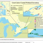
During the early 2000s, the Great Lakes Coastal Wetland Consortium (GLCWC; see Ingram et al. 2004), consisting of both U.S. and Canadian scientists and policy makers, worked together to create a Geographic Information System (GIS)-based coastal wetland inventory for all five Great Lakes (see map above). … Read More
7 October 2011 -
WIRE Net (Wetland Inventory for Research and Education Network)
WIRE Net was established in 1997 to create a centralized binational GIS database that could be used to prepare a discussion paper for the 1998 State of the Lakes Conference (Chow-Fraser and Albert 1998). At that time, the database only contained locations (centroids) of wetlands along the Canadian and U.S.… Read More
7 October 2011 -
Cootes Paradise
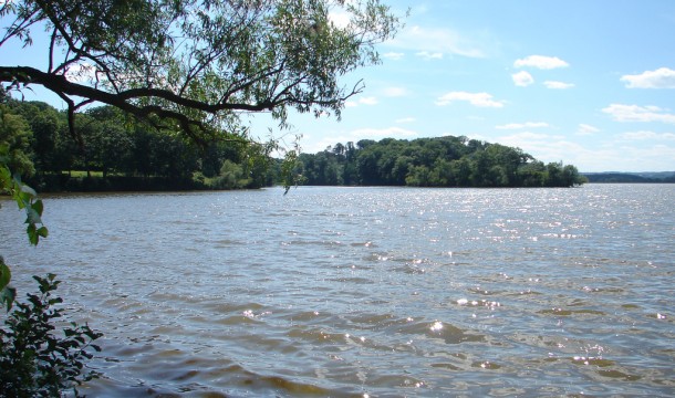
 Cootes Paradise is located at the extreme west end of Lake Ontario, surrounded by the City of Hamilton, the Town of Dundas and the Town of Waterdown. The northern border of McMaster University's campus lies near the southwestern end of the marsh. In this multimedia presentation, we consider the different factors which have degraded Cootes Paradise's marsh lands over the last century. We also track restoration efforts made during the 1990s, learning from their stumbles and successes.
 12 August 2011 -
McMaster Daily News: Researchers Tracking Threatened Animals in Georgian Bay

McMaster researchers are learning about one of Earth’s oldest creatures by using some of its newest technology.
Bob Christensen, a master’s student in the Faculty of Science, is currently on Beausoleil Island in Georgian Bay studying the Blanding’s turtle – a medium-sized reptile considered threatened throughout much of its range.… Read More
3 August 2011

